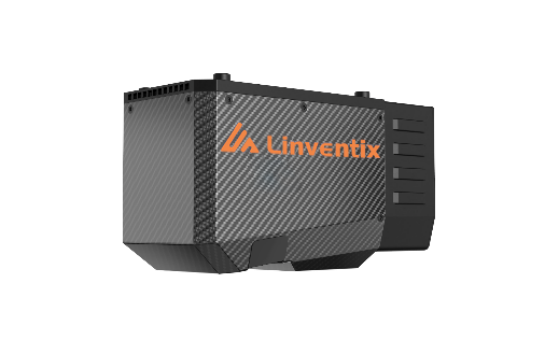
To accommodate the increasingly comprehensive demands of users,Its more compact and lightweight design can be directly integrated into various unmanned aerial vehicle (UAV) platforms. With open data ports, it meets the integration needs of multiple devices and sensors. Combining the company's existing mature sensor technology with the FT800H's outstanding detection capabilities, adaptability, and stability, it can be widely applied in areas such as topographic surveying, electrical inspections, mining measurement, emergency mapping, natural resource survey, and real-world 3D imaging.
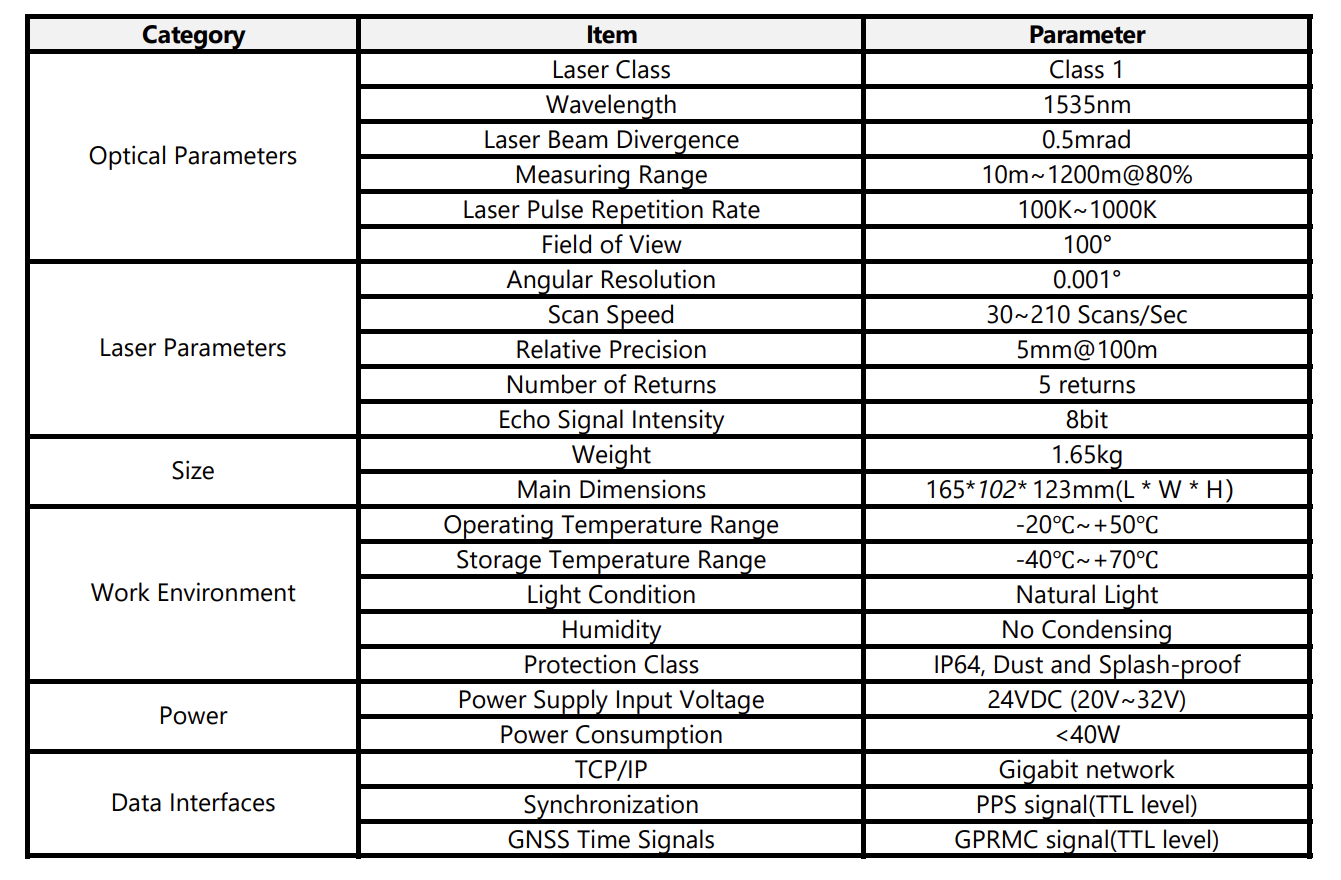
Specifications
Cases
Power Line Inspection
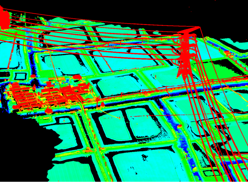
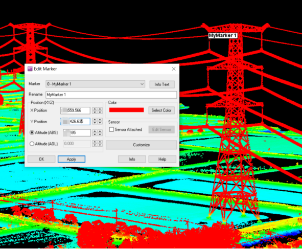
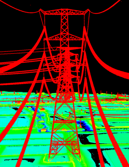
Project background: By using drones equipped with LiDAR systems to acquire real point cloud data, a data foundation is provided for power transmission line monitoring staff. By processing through professional electric power 3D LiDAR software, focusing on key objects within the power corridor—power lines and towers, abnormalities and potential hazards in transmission line facilities and equipment are identified, as well as threats to the lines from objects crossing the corridor. Tall vegetation, high-rise buildings, and crossing routes are marked as points of interest, analyzing their topological relationships and interactions with each other, and outputting charts to indicate areas for hazard inspection. It checks whether the distances of buildings, vegetation, and crossings to the line comply with operational standards.
Survey Area Conditions
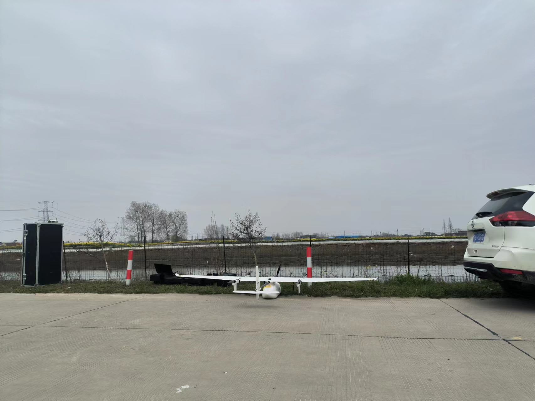
Test Site
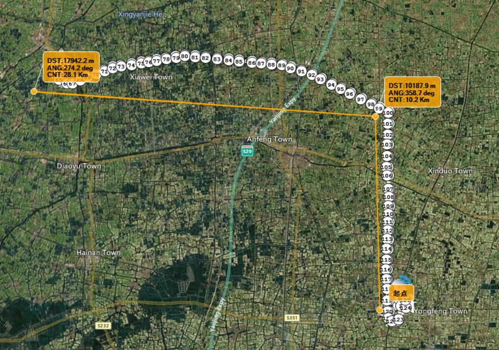
Project situation: This task involves a detailed inspection of a 30km long 1000kV power line in East China, where the team used CW-15 vertical fixed-wing drones in conjunction with the FT800 series LiDAR for precise inspection work.
AGL: 220m
Ground Speed: 22m/s
Line Spacing: 80m
Flight sorties: 1
Operation Duration: 90mins
After the data collection is completed, at the request of the electric power industry users, some spatial dimension information of the poles and lines was quickly queried:
1. The vertical distance between two points in space, suitable for querying the crossing distance of lines, the distance from the lowest point of the suspended line to the ground or trees, the vertical distance from any position of the pole to the ground, the height difference between poles, etc.;
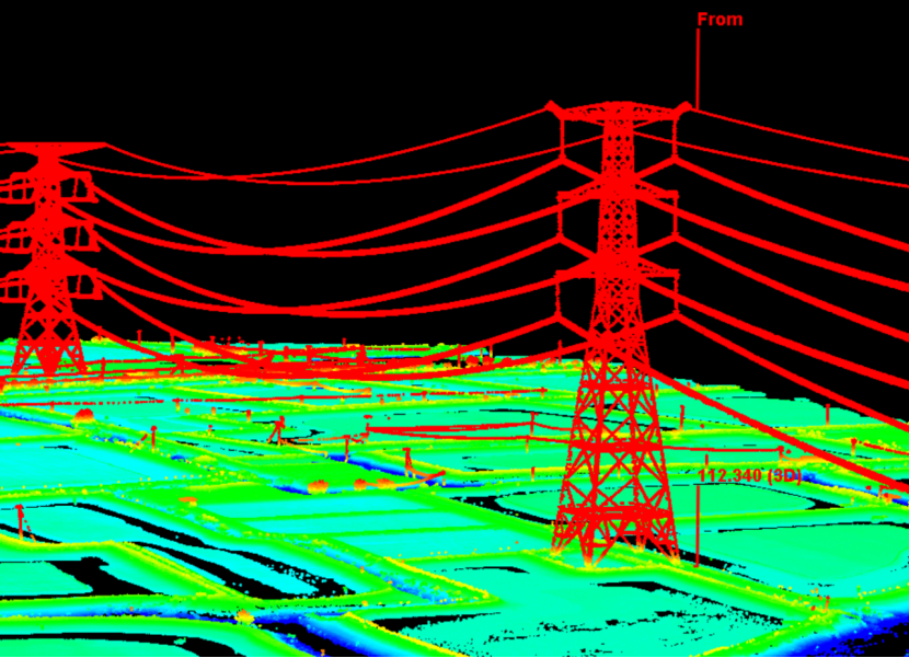
2. The three-dimensional coordinates of any point, suitable for querying or marking the spatial positioning information of the pole tower with insulators, etc.;
3. The vertical distance from a point to a line, suitable for querying the vertical distance between two parallel conductors, etc.;
4. The angle formed by any three vertices, suitable for querying the connection angle between adjacent poles.