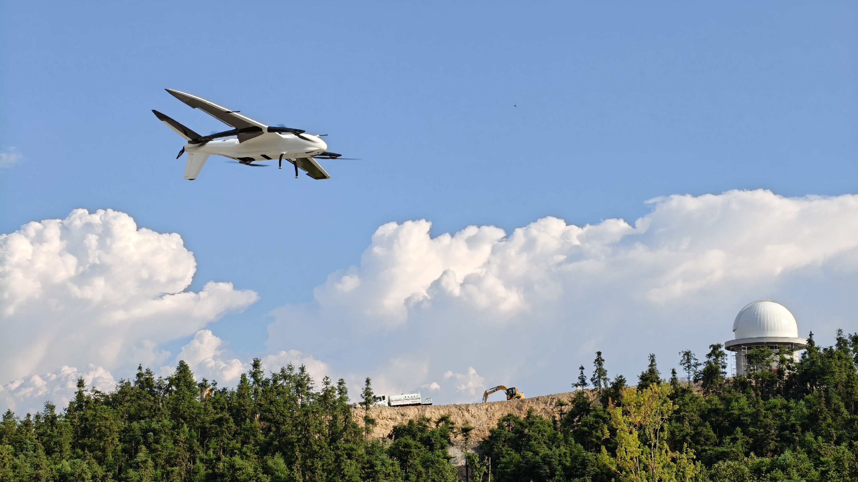
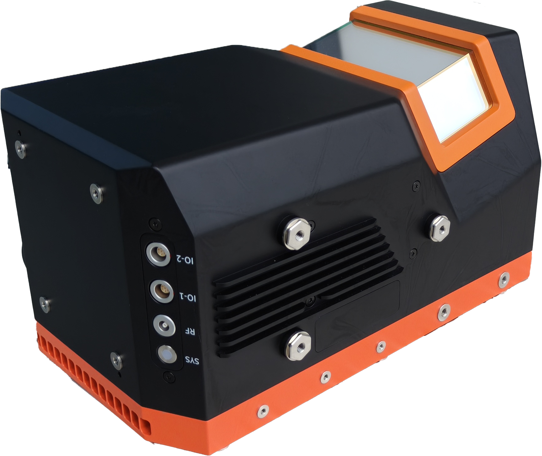
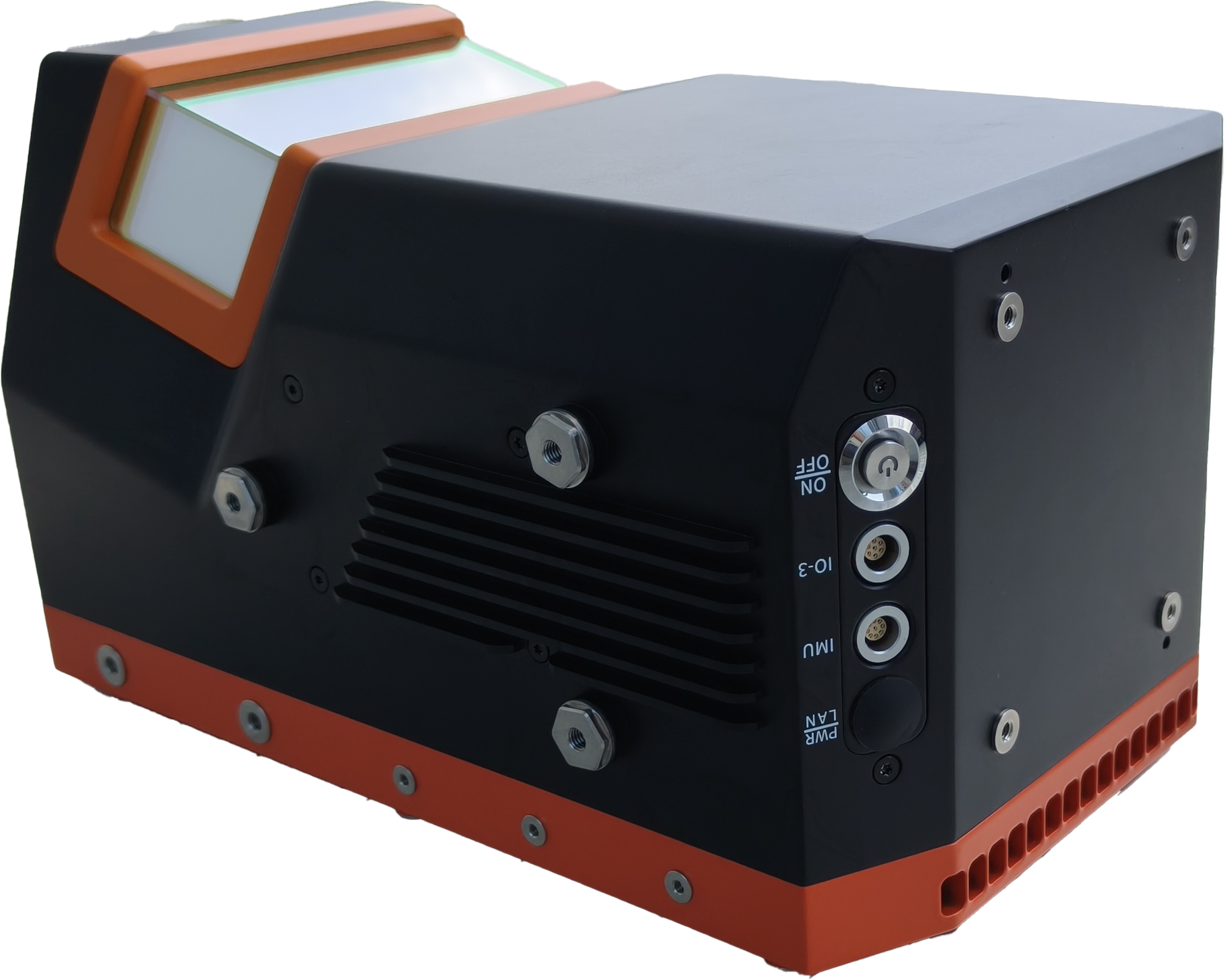
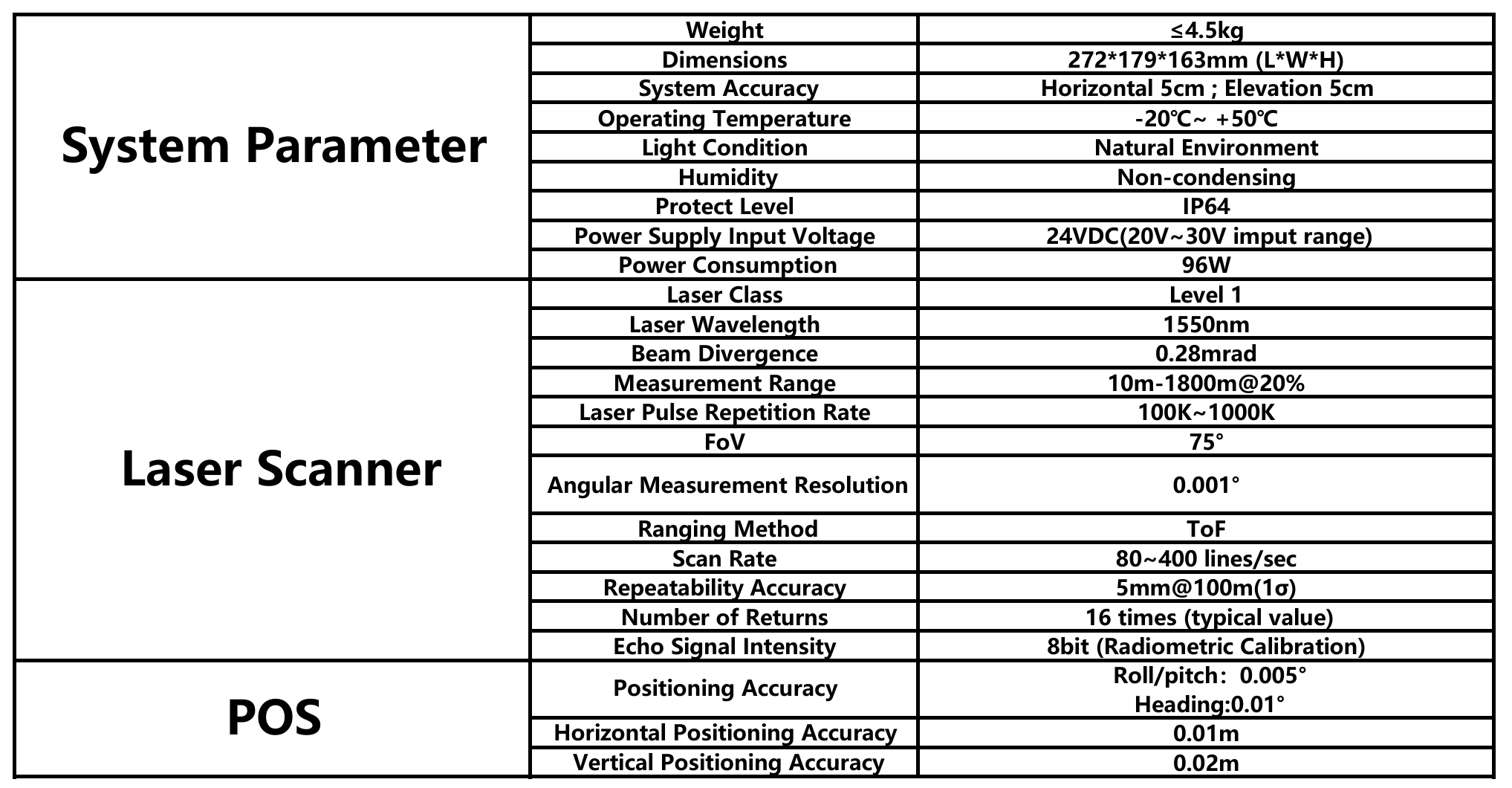
FT-3000 is a long-range, high-precision, lightweight airborne LiDAR system designed for large area mapping applications. It can measure distances up to 1800m@20%, weights about 4.5kg, and features up to 16 returns (typical value). The system is highly integrated with high-precision inertial navigation system (INS), compatible with various load-carrying platforms such as VTOL fixed-wing UAVs, multi-rotor UAVs, helicopters, and manned aircrafts. FT-3000 LiDAR system can fulfill the needs in different fields like topographic surveying, power line inspection, mining measurement, shoreline measurement, emergency surveying, natural resource investigation, 3D modeling and etc..
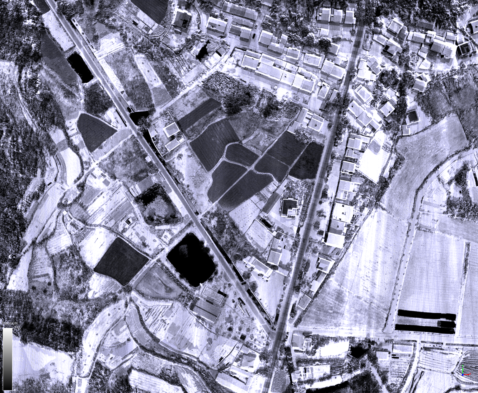
Long Range · Wide Coverage
With a maximum range of 3620 meters, FT-3000 efficiently supports large-area aerial surveys, reducing flight workload while expanding coverage.
High Accuracy · Reliable Results
Delivers 5 mm repeat accuracy at 100 m and 0.01 m POS precision, ensuring millimeter-level measurement quality in diverse scenarios.
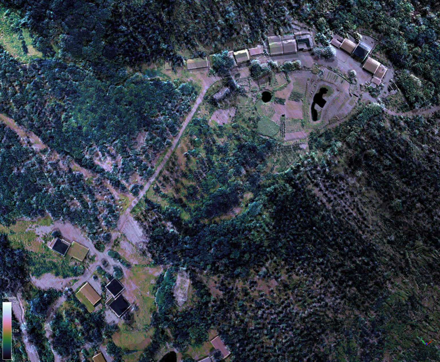
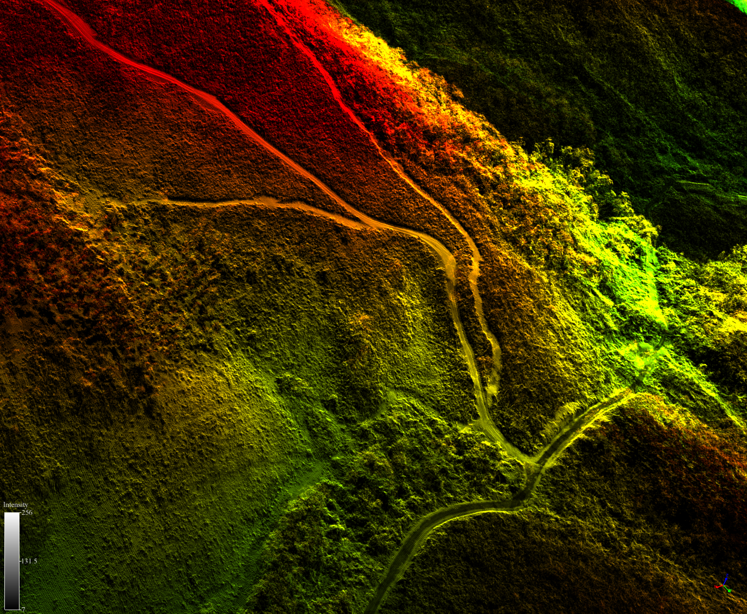
High Efficiency · Dense Point Clouds
Supports 1000 kHz laser frequency and 16-return capability, enabling dense and detailed 3D data acquisition even in complex environments.