MPC Software is a point cloud processing software that integrates CAD and point cloud modeling capabilities. It supports the import and rendering of massive point cloud files in formats such as laz, ply, e57, txt, etc. It features void modeling, surface modeling, point cloud editing, extraction of model boundary lines, and measurement functions. It also supports the import of CAD drawings and point clouds, as well as model linkage, making it widely applicable to fields like mine and underground void surveying.
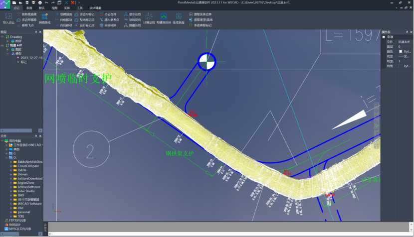
Advantages
Visualization
Supports the loading of massive amounts of point cloud data.
Supports the loading of point cloud data in formats such as txt, laz, las, ply, e57,etc.
Provides powerful point cloud rendering efficiency and accuracy.
The integrated two-dimensional and three-dimensional browsing method is more intuitive.
Editing and Processing
Supports point cloud selection and editing via CAD interaction methods.
Supports point cloud thinning, outlier removal, and mesh simplification.
Supports coordinate correction and cross-section analysis.
Supports efficient editing and selection through direct and inverse selection of point clouds.
3D Modeling
Supports the construction of solid and surface models.
Generates point clouds and calculates normals through triangulation.
Supports exporting and displaying results in multiple formats.
Enables high-definition 3D printing output of results.
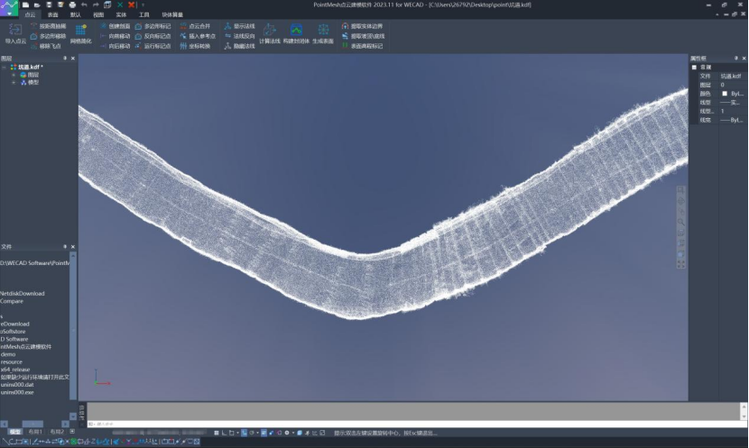
Import Pointcloud
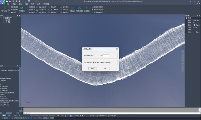
Calculate Normals
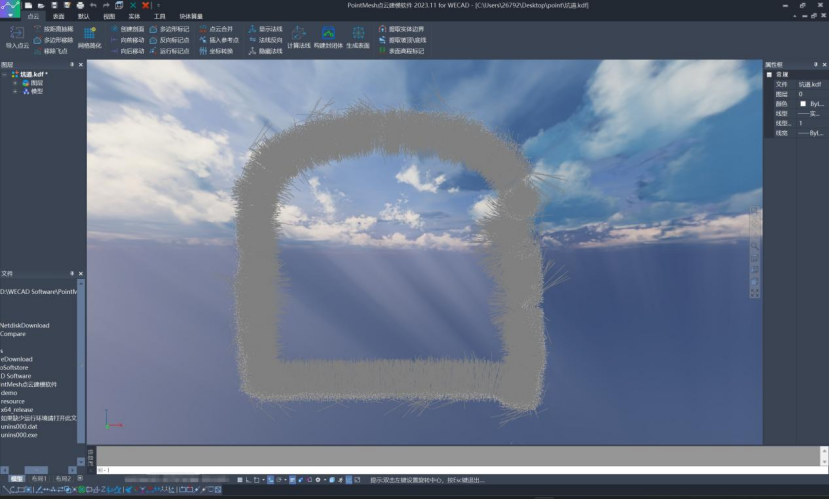
Profile Display

Generate Mesh Model from Pointcloud
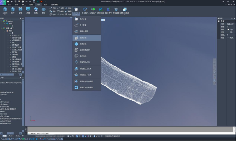
Calculate Earthwork Volume
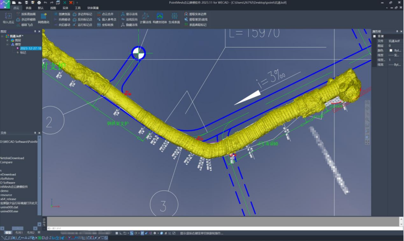
Import CAD Drawings
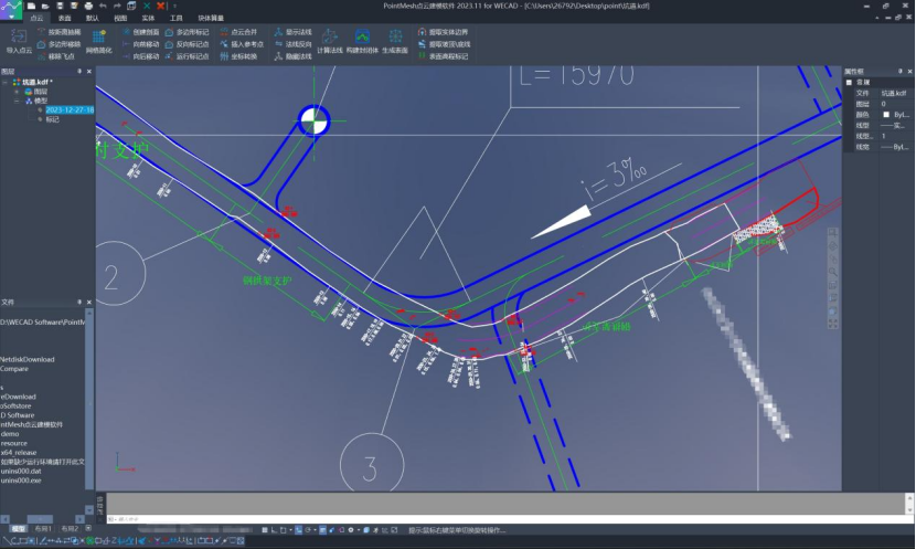
Automatically Extract Model Boundaries