BEM-30

    Borehole geophysics

    BEM-30

    Borehole Transient Electromagnetic System

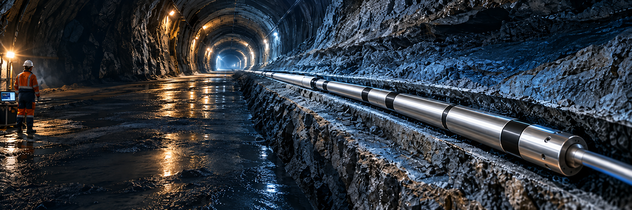
    A new-generation borehole TEM system for ahead geological prediction, combining a large transmitter current with full three-component X / Y / Z acquisition.

    ≥ 30 mDetection radius≥ 15 ATransmitter current> 800 mPushing distance3-axisX / Y / Z sensing
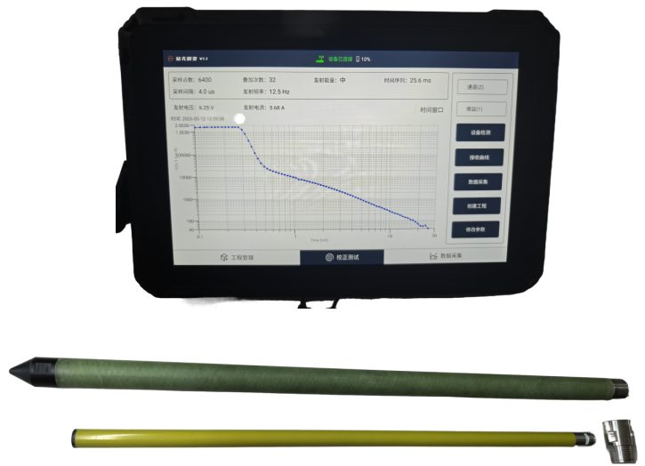
    BEM-30 complete borehole transient electromagnetic system

    Home  /  Products  /  BEM-30 Borehole TEM System

    Overview

    See the Hazards Before the Drill Bit Does

    The BEM-30 is designed for ahead geological prediction in tunnels, mines and deep boreholes. Its large transmitter current provides strong penetration, while a new-generation three-component magnetic sensor captures the complete induced electromagnetic field in three orthogonal directions.

    No matter where an anomalous body lies around the borehole, the system captures it effectively and helps identify water-bearing hazards within a 30 m radius.

    ✓ Full X / Y / Z acquisition
    No blind azimuth around the borehole
    ✓ Quadrant-level orientation
    Improved spatial interpretation
    ✓ Wired and wireless modes
    Flexible field workflows
    ✓ Time sync + gyroscope
    Real-time roll-angle awareness
    ✓ High-strength protection tube
    Non-magnetic fiberglass, > 5 MPa
    ✓ Ultra-long deployment
    More than 800 m pushing distance

    Key Features

    Built for Long, Deep, Directional Boreholes

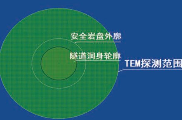
    TEM detection coverage
    TEM detection coverage

    01

    Long Range & Spatial Positioning

    A large transmitter current provides strong penetration and a detection radius of more than 30 m. The three-component magnetic sensor delivers quadrant-level orientation of geological bodies around the borehole.

    02

    Two Acquisition Modes, One Reliable Workflow

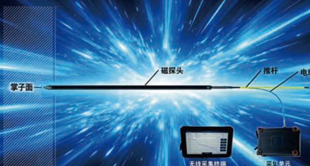
    Switch between wired real-time acquisition and wireless storage to suit field conditions. The reinforced fiberglass tube supports rod pushing and drill-rig pushing, helping solve high failure rates in long-distance boreholes.

    Wired and wireless acquisition workflow
    Flexible wired / wireless acquisition workflow
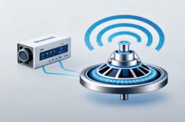
    Gyroscope and time synchronization positioning
    Time synchronization + gyroscope sensing

    03

    Dual-Mode Positioning

    High-precision time synchronization works with gyroscope sensing to locate the probe automatically, recognize measurement stops and monitor probe roll angle in real time.

    System Composition

    Complete, Field-Ready Equipment Set

    Acquisition unit

    Acquisition Unit

    Data acquisition host

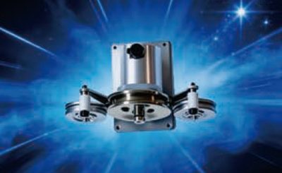
    Digital encoder

    Digital Encoder

    Pushing distance positioning

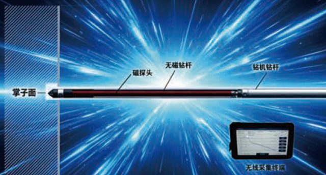
    Wireless terminal

    Wireless Terminal

    Real-time wireless acquisition

    Three-component probe

    Magnetic Probe

    Three-component TEM sensor

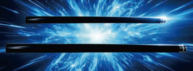
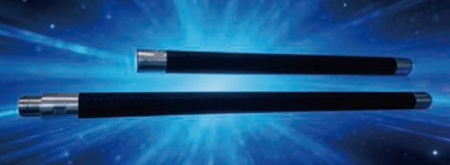
    Protection tube

    Protection Tube

    Non-magnetic fiberglass

    Specifications

    BEM-30 Main Technical Parameters

    Detection radius0.5 m – 30 m
    Transmitter current≥ 15 A
    Probe pressure resistance> 5.0 MPa
    Pushing methodRod pushing / drill-rig pushing
    Detection modeWireless storage / wired acquisition
    Measurement methodDigital encoder, time synchronization, gyroscope sensing
    Transmitting frequency12.5 Hz / 25 Hz / 100 Hz / 200 Hz
    Required borehole diameter≥ 75 mm (rod), ≥ 100 mm (drill-rig)
    Probe size & weightØ 50 mm × 150 cm, 3.7 kg
    Signal resolution / A-D0.1 µV / 24-bit
    Working time / storageMore than 6 hours / 32 GB
    Sampling interval2 µs

    Field Data

    Proven on the Qianji Railway Xiushan Tunnel

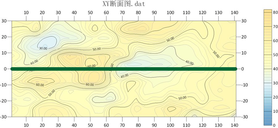
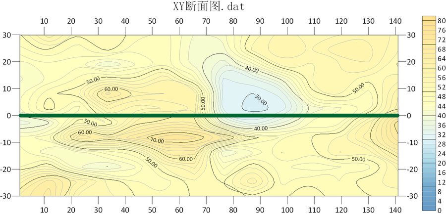
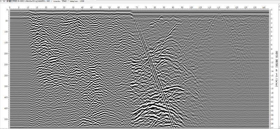
    Borehole TEM and borehole radar cross-probing mapped the resistivity distribution around advance boreholes and located karst cavities with confidence.

    TEM XY resistivity section
    TEM apparent resistivity — XY profile
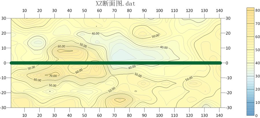
    TEM XZ resistivity section
    TEM apparent resistivity — XZ profile
    TEM resistivity second borehole
    TEM result — second borehole
    Borehole radar profile
    Radar profile — strong arched reflections

    Interpretation result: radar showed a continuous strong arched anomaly at 65–100 m, while TEM revealed a closed low-resistivity anomaly within a 20 m radius. The combined interpretation identified a karst cave development zone, later supported by the stable water level observed during drilling.

    Applications

    One Probe, Many Missions

    Tunnel Ahead Prediction

    Detect water-bearing structures and karst ahead of and around advance boreholes.

    Hydrogeological Survey

    Locate anomalous water bodies, aquifers and seepage channels within a 30 m radius.

    Mining & Karst Mapping

    Identify goaf zones, karst caves and voids around exploration holes.

    Deep Exploration

    Support mineral, geothermal and engineering surveys with directional borehole TEM.

Related News