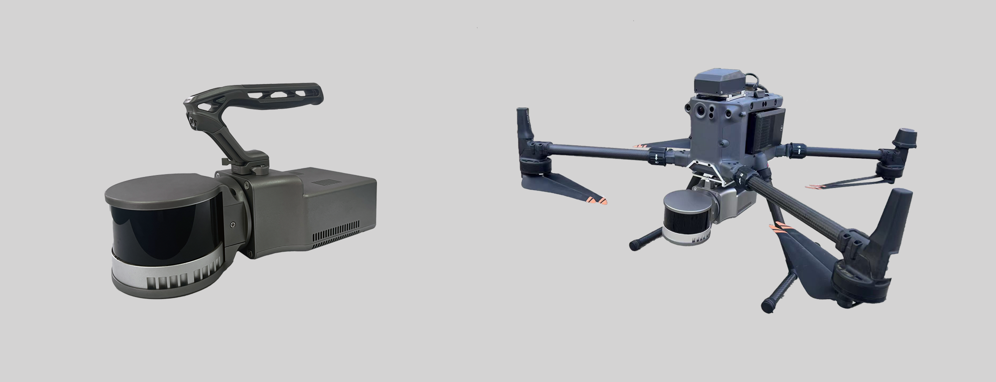
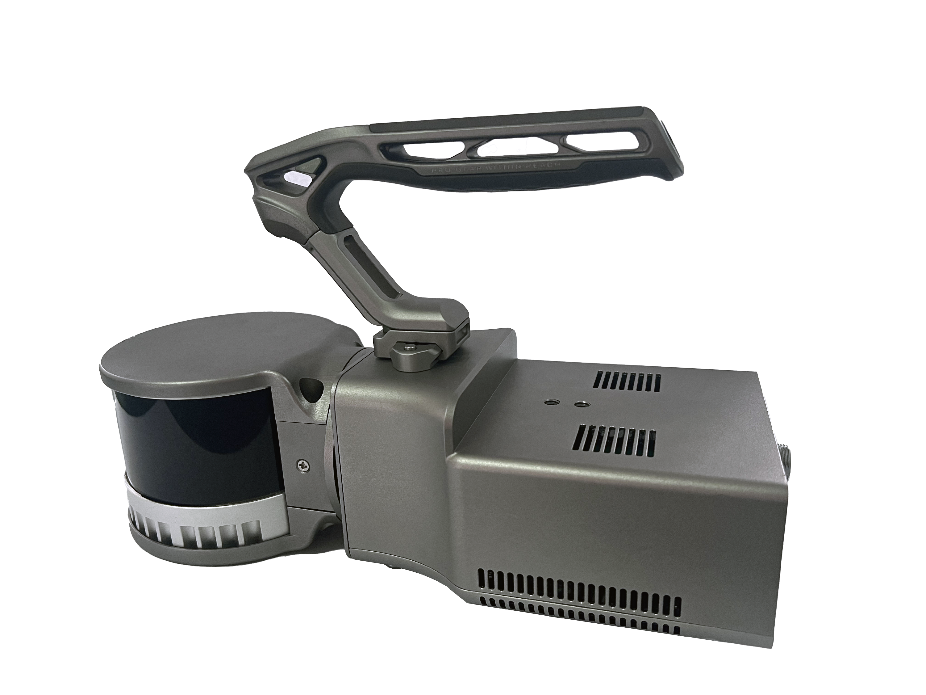
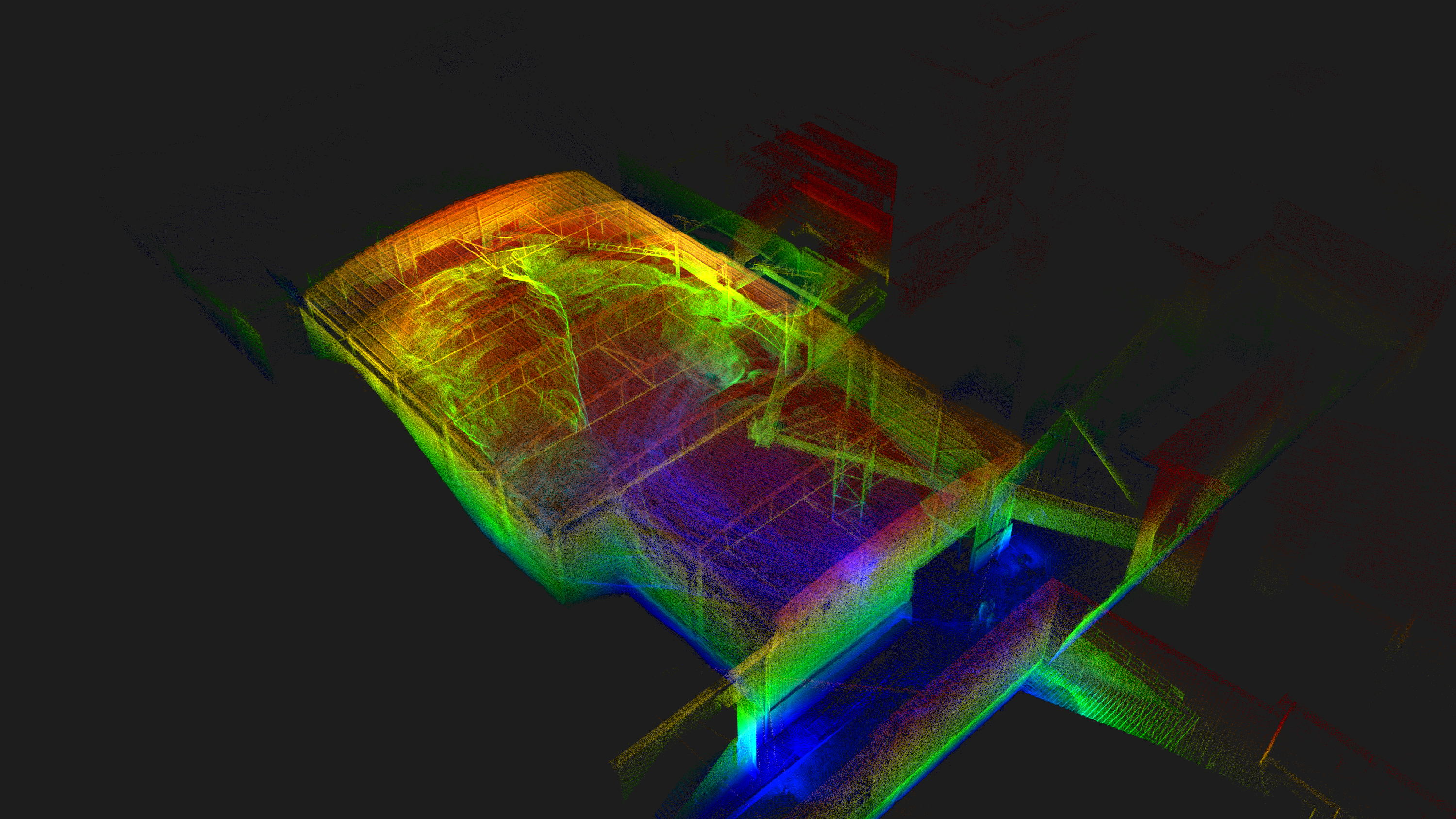
VoxelAero Mapper is a handheld 3D laser measurement system primarily designed for mining users. It integrates advanced multi-line LiDAR and high-precision inertial measurement units, and adopts industrial-grade laser SLAM algorithms. It supports real-time and post-processing mode calculations, operates in GNSS denied environments and performs high-precision 3D scanning in large-scale scenarios. Additionally, VoxelAero Mapper can be mounted on DJI M300/350 drones, providing active obstacle avoidance during flight to safely capture terrain data in enclosed spaces. VoxelAero Mapper is dedicated to provide mining users with real-time, simple, flexible, high-accurate, and professional 3D scanning solutions
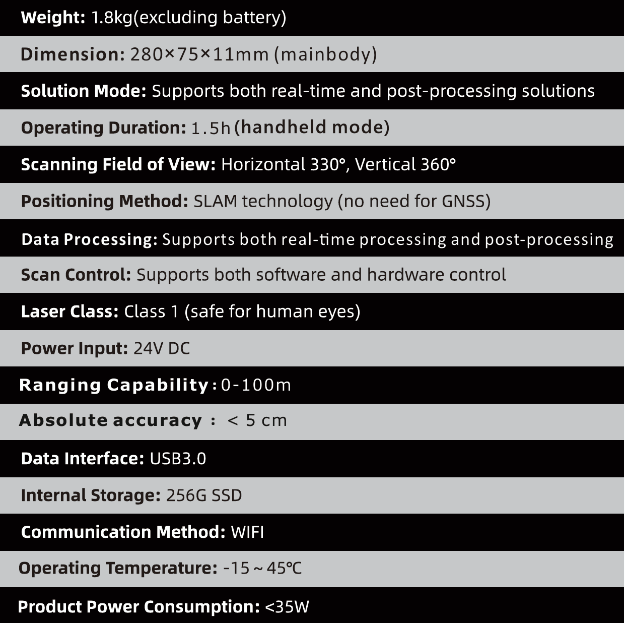
Specifications
Cases
Underground Tunnel
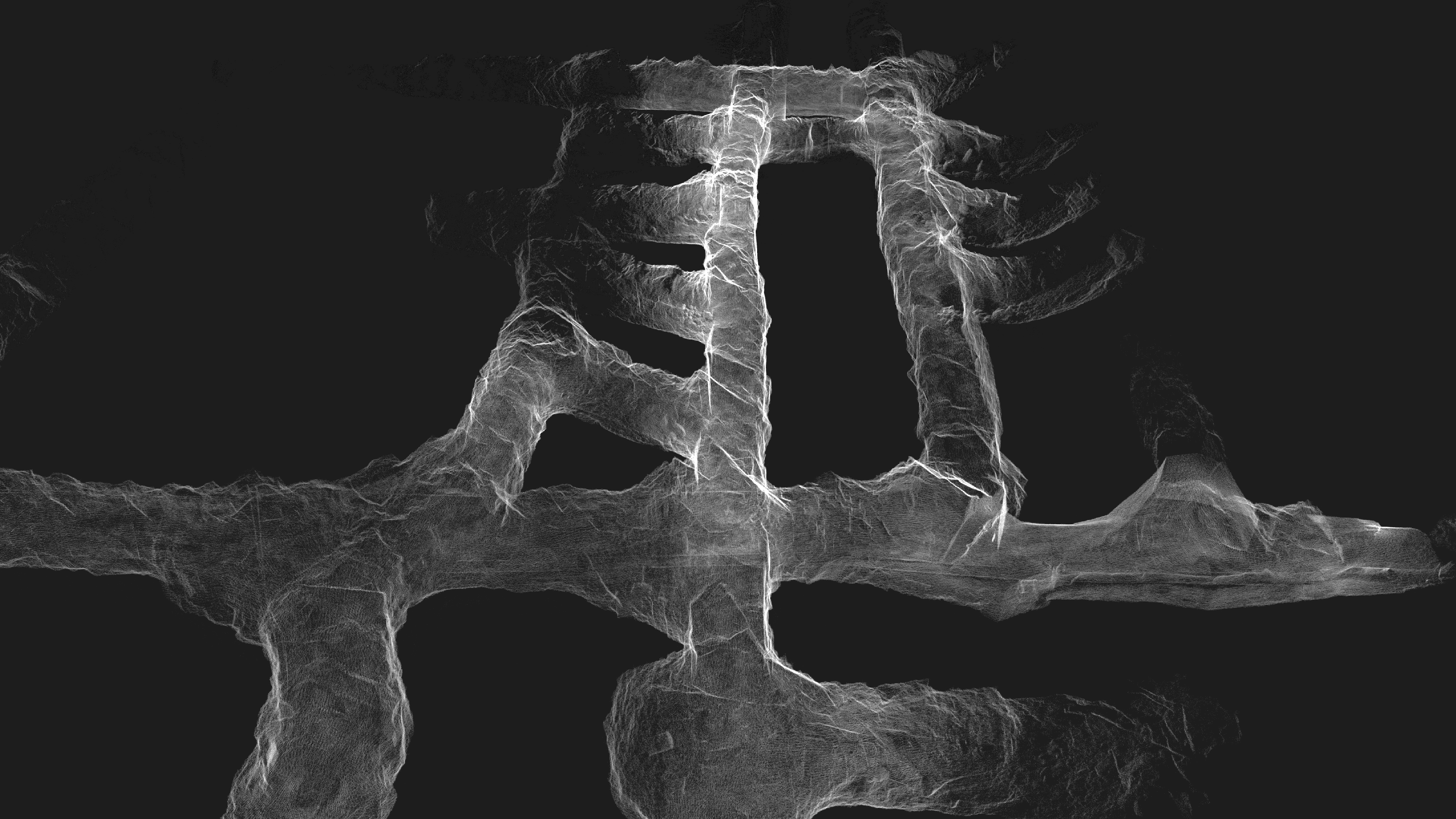
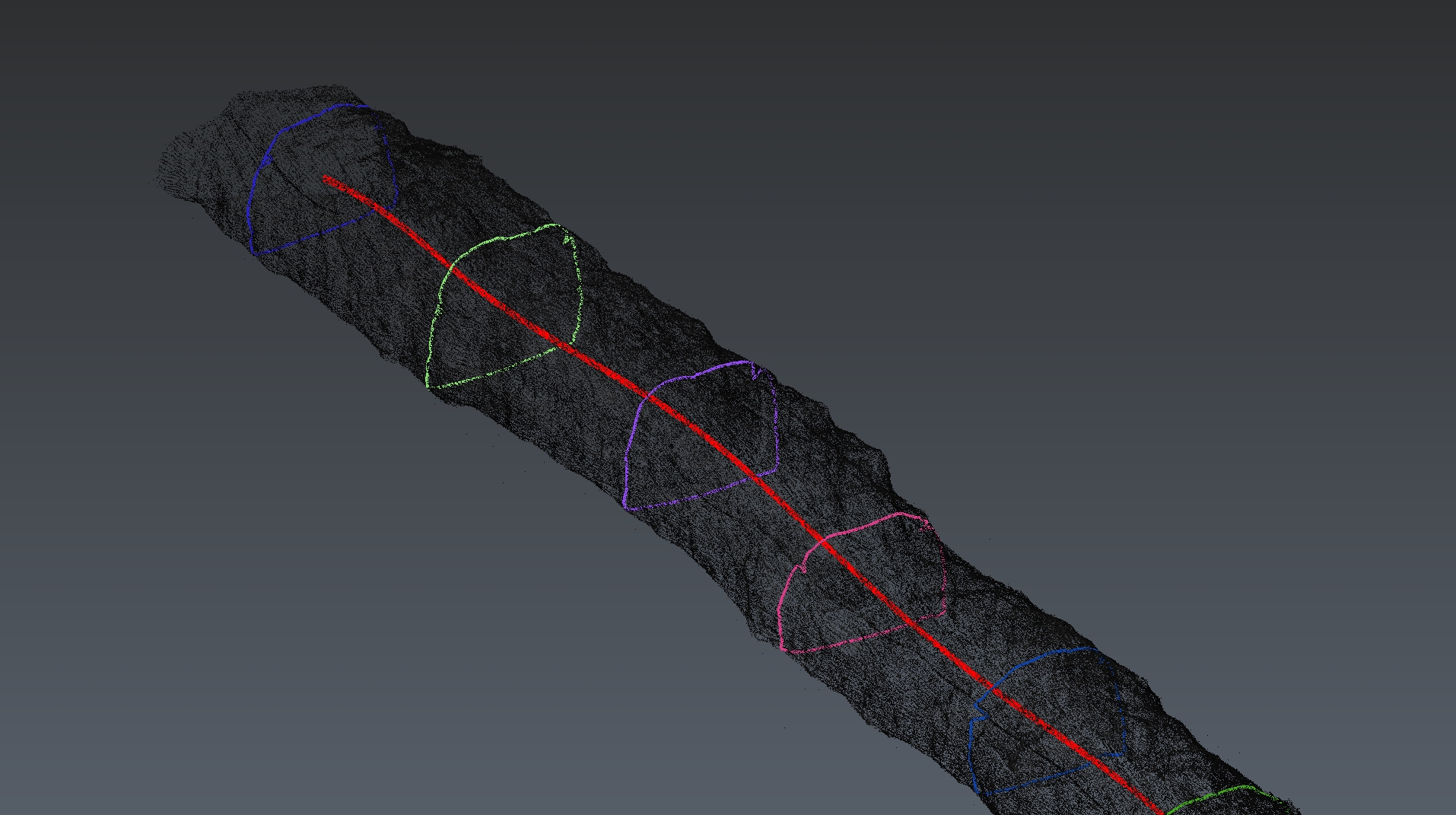
In underground tunnels applications, VoxelAero Mapper rapidly creates high-precision 3D point cloud models, to enable real-time positioning and extraction of tunnel cross-sections and plans, to improve the mine safety and production efficiency
Open-Pit mine
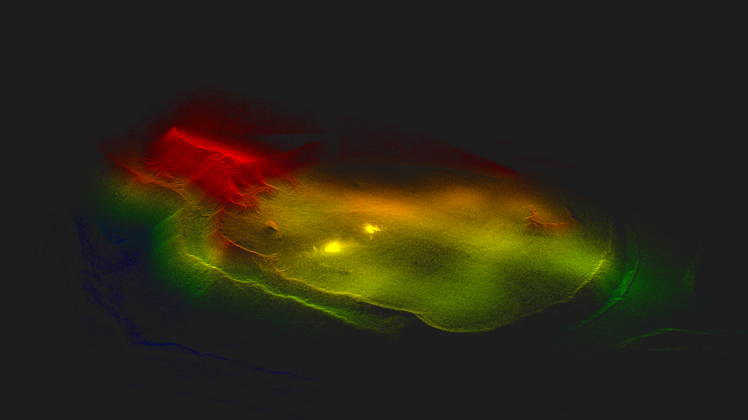
In open-pit mine applications, VoxelAero Mapper efficiently captures topographical data and rapidly generates 3D models to support mine planning, monitoring, and safety assessments
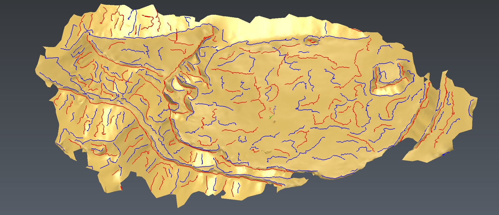
Stockpile Inventory Management
In stockpile inventory management, VoxelAero Mapper quickly captures 3D data of material piles, enabling accurate volume calculation and inventory management
