

VoxelSpaceViewer
Lightweight Professional 3D Visualization Platform for 3DGS
VoxelSpaceViewer focuses on the interaction, sharing and visualization of high-precision 3D data. It delivers a lightweight, high-performance and easy-to-deploy platform for 3DGS applications.
The platform enables smooth Web-based browsing, collaborative analysis, remote presentation, spatial measurement, and annotation of 3DGS scenes without complex deployment or extra configuration, allowing interactive 3D scenes to be built quickly to integrate high-precision 3D data into routine workflows.
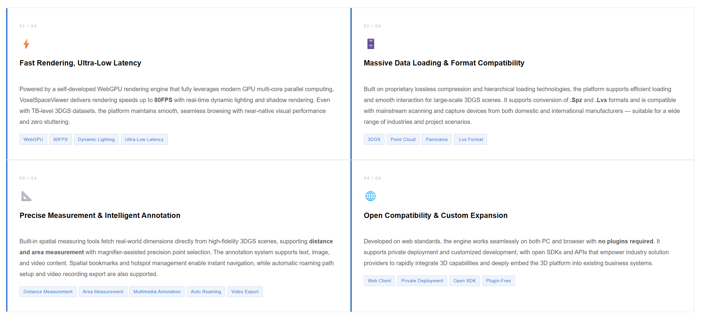
Powered by the self-developed WebGPU rendering engine, VoxelSpaceViewer shows fine details clearly together with smooth real-time interaction for large-scale 3D scenes. It serves a wide range of industries, including smart city, surveying and mapping, manufacturing, mining, cultural tourism and transportation infrastructure.

Product Showcase
What You See Is What You Get — A Digital Twin of the Real World
Game-grade mouse and keyboard controls, physical collision feedback, and dynamic sky simulation make 3D space exploration intuitive, immersive, and smooth.
Core Advantages
Industry Applications
Empower diverse industries with extensive application scenarios
Covering five major sectors — smart cities, cultural tourism, industry, real estate, and emergency management — providing comprehensive 3D digital solutions.
🏙️ Smart Parks / Smart Cities
AI digital human automatic guided tours, sensor data integration, remote monitoring and planning capabilities, improving management efficiency and decision-making capability.
🏛️ Cultural Tourism / Museums
High-fidelity digital restoration of cultural relics and historical architecture, creating immersive online cultural experiences and new revenue opportunities.
🏭 Industrial Manufacturing
Create 1:1 digital twins connected to automated production systems, enabling production visualization and remote equipment diagnostics.
🏠 Real Estate & Interior Design
Accurately reconstruct construction sites on a regular basis, automatically overlay and compare design plans with actual scenes, and enable immersive interactive layout of virtual furniture.
🚒 Emergency Operation & Training
Support tactical deployment, multi-user collaborative mapping & marking, and real-time simulation within real-world 3D environments for firefighting, emergency response, and military training.

One-Stop Service, Customized Solutions
Based on the dual-platform architecture of VoxelSpaceViewer for PC and web, a full-range 3D service system is offered, covering general tools, custom projects and ecosystem enablement.
