
Convergence measurement
Segment offset inspection
Ovality analysis
Clearance intrusion inspection
Segment ring analysis
Existing line re-survey
Ballast volume analysis
Tamping machine operation design
Track spatial measurement
Highway tunnel structural inspection
Defect identification
3D digital modeling
Construction of digital platform for operations & maintenance
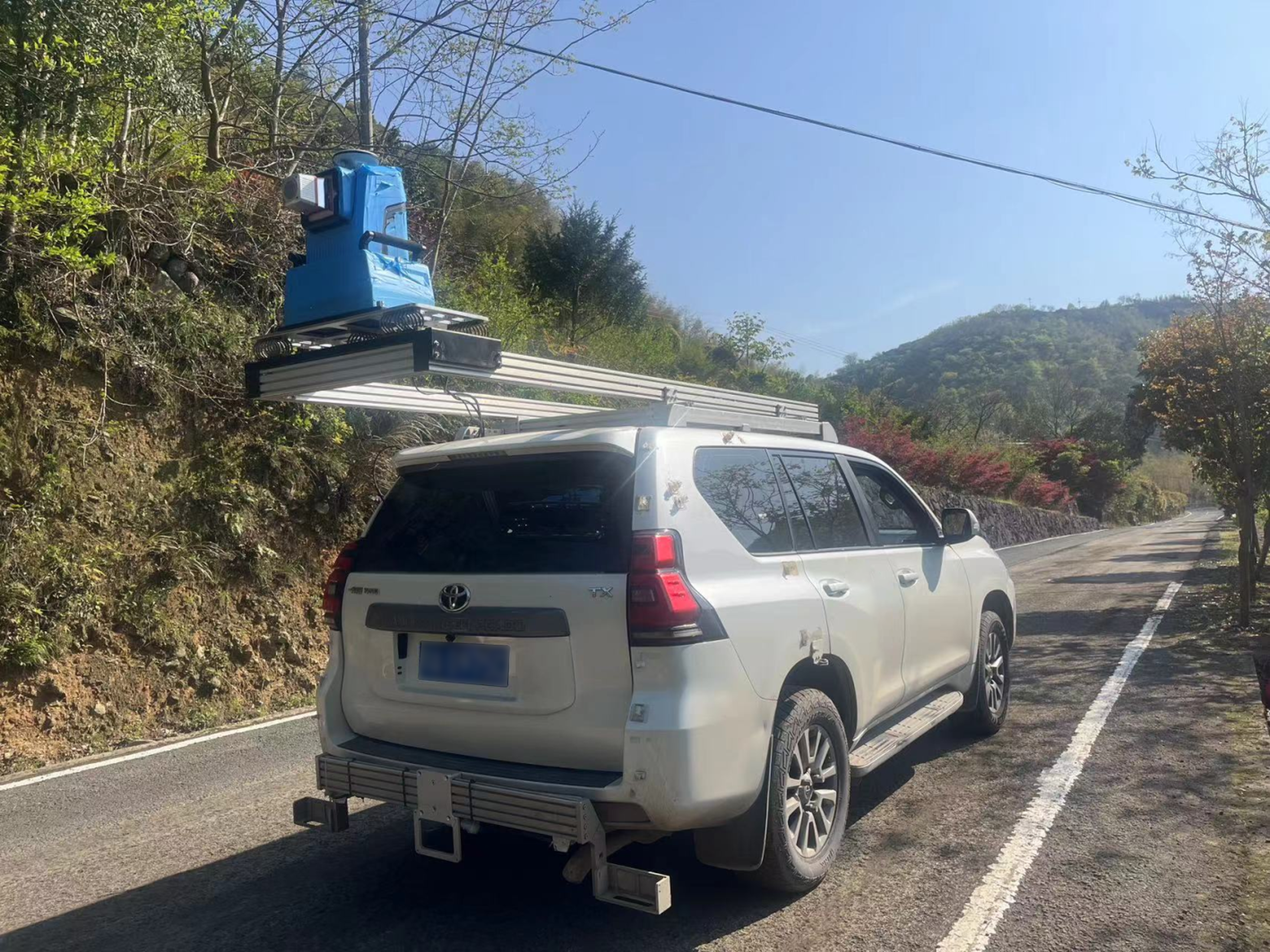
D-800 Vehicle-Mounted High-Precision 3D Laser Scanner
High-precision vehicle-mounted laser scanner delivers a high-density point cloud with 8 million points per second within the scanning range. It supports true 3D structural inspection during high-speed movement.
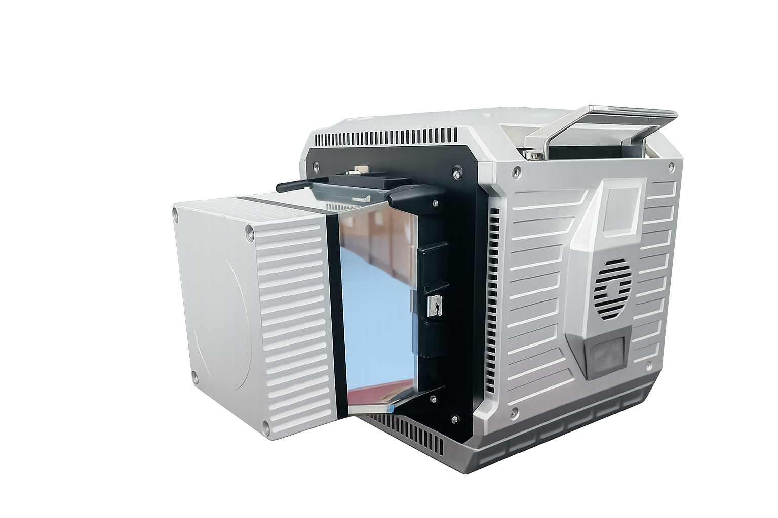
Product Overview
D-800 is a high-frequency vehicle-mounted laser scanning system designed for inspection of tunnels, rail transit and large infrastructure. It offers 360° full-view scanning, and continuously captures high-density, high-precision 3D point cloud data while moving.
The main motor reaches at a maximum speed of 200Hz, enabling an ultra-high-frequency rotational scanning mode at 800 lines/second and a point acquisition rate of up to 8 million points/second. It delivers full-coverage high-density point clouds and true 3D reconstruction even at high moving speeds.
The system integrates IMU, odometer, and spatiotemporal synchronization control module, ensuring stable spatial attitude calculation and high-accuracy point cloud output during continuous movement.
Core Advantages
①High-Density True-3D Point Cloud Output
The system features ultra-high-frequency point cloud data collection capability. It steadily generates high-density, high-precision true 3D point clouds, enabling complete reconstruction of complex spatial structures.
②High-Precision Mobile Mapping
The system deeply integrates LiDAR, industrial-grade IMU, odometers, and a spatiotemporal synchronization control module to achieve high-precision point cloud fusion and continuous spatial mapping even under high-speed moving conditions.
In environments where GNSS signals are unavailable or in complex tunnels, the system can still maintain stable spatial attitude calculation capabilities, effectively reducing point cloud distortion and registration errors under high-speed moving conditions. This enables 3D reconstruction of long-distance continuous scenes, providing a stable and reliable spatial data foundation for tunnel structure inspection and mobile mapping.
③Modular Integration Architecture
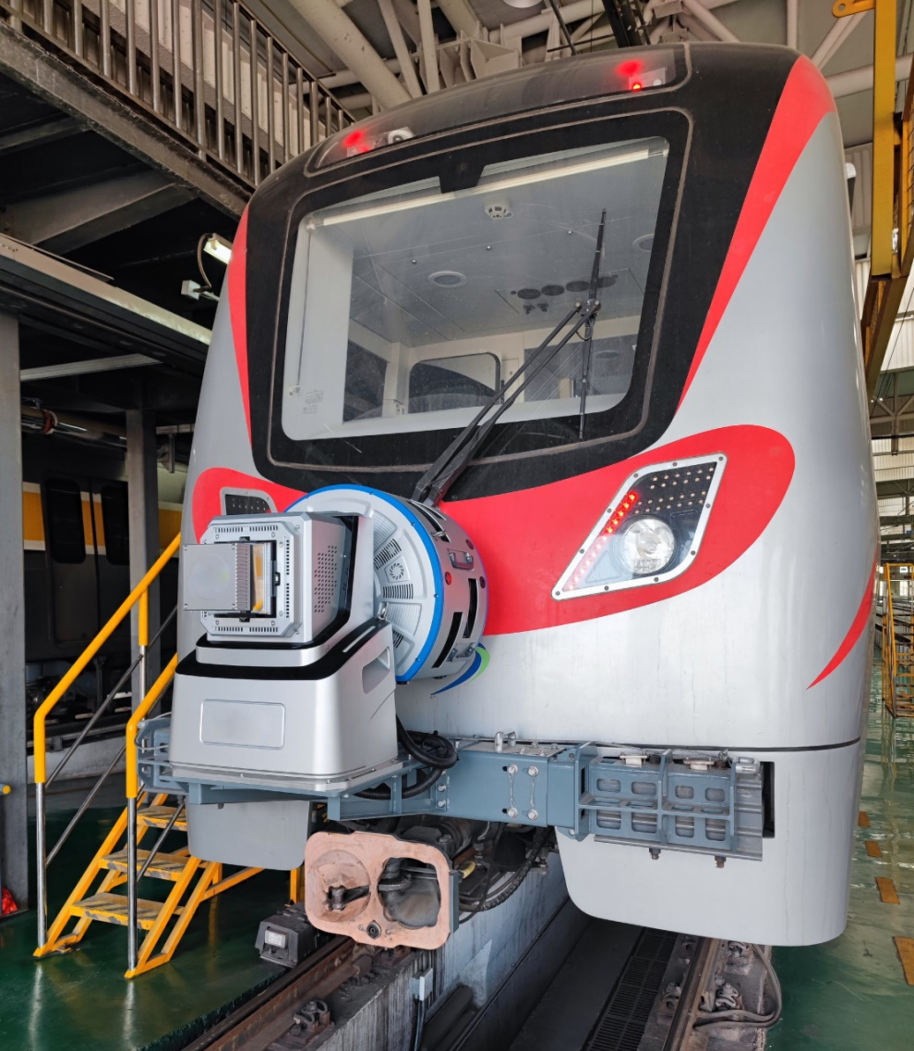
D-800 adopts a compact, modular industrial design. It is compatible with various platforms and features open interfaces, enabling flexible adaptation to rail vehicles, metro vehicles, and other mobile inspection platforms.
The system supports multi-sensor collaborative expansion, external clock synchronization, and high-speed data acquisition and processing. It can be quickly deployed and integrated for various project scenarios, meeting the needs of applications such as rail transit inspection, tunnel inspection, and 3D mobile mapping.
④Self-Developed Core Architecture
D-800 is built upon a fully self-developed 3D laser scanning technology. Its core parts cover the key technologies including laser scanning unit, spatiotemporal synchronization control, multi-sensor fusion and point cloud processing.
The complete independently developed 3D sensing technology enables the system to maintain stable and reliable performance in complex engineering scenarios.
Technical Specifications
Modules | Items | Specifications |
Optical parameter | Laser Class | Level 1 |
Laser Wavelength | 1550nm | |
Beam Divergence | 0.5mrad | |
Laser measurement | Measuring Range | 0.5 ~ 50m@10% |
Laser Pulse Repetition Rate | 500k~ 8000k | |
FOV | 360° | |
Angular Measurement Resolution | 0.001° | |
Measurement Technique | ToF | |
Scan Rate | 100~800 lines/second | |
Repetitive Accuracy | 1mm@30m(1σ) | |
Number of Returns | Single return | |
Echo Signal Intensity | 8 bit(Radiation Correction) | |
Dimensions | Dimensions | Length * width * height 383.5*279*279mm |
Equipment Weight | Approx. 17kg (laser scanner only) | |
Working environment | Storage Temperature Range | -20℃ ~ +50℃ |
Operating Temperature Range | -20℃ ~ +50℃ | |
Light condition | Natural environment | |
Humidity | non-condensing |
Application Scenarios
Metro Tunnel Structural Inspection
Applicable for:
Meets metro operational inspection requirements.
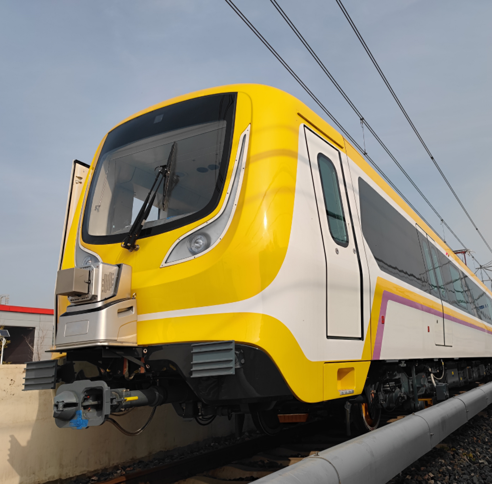
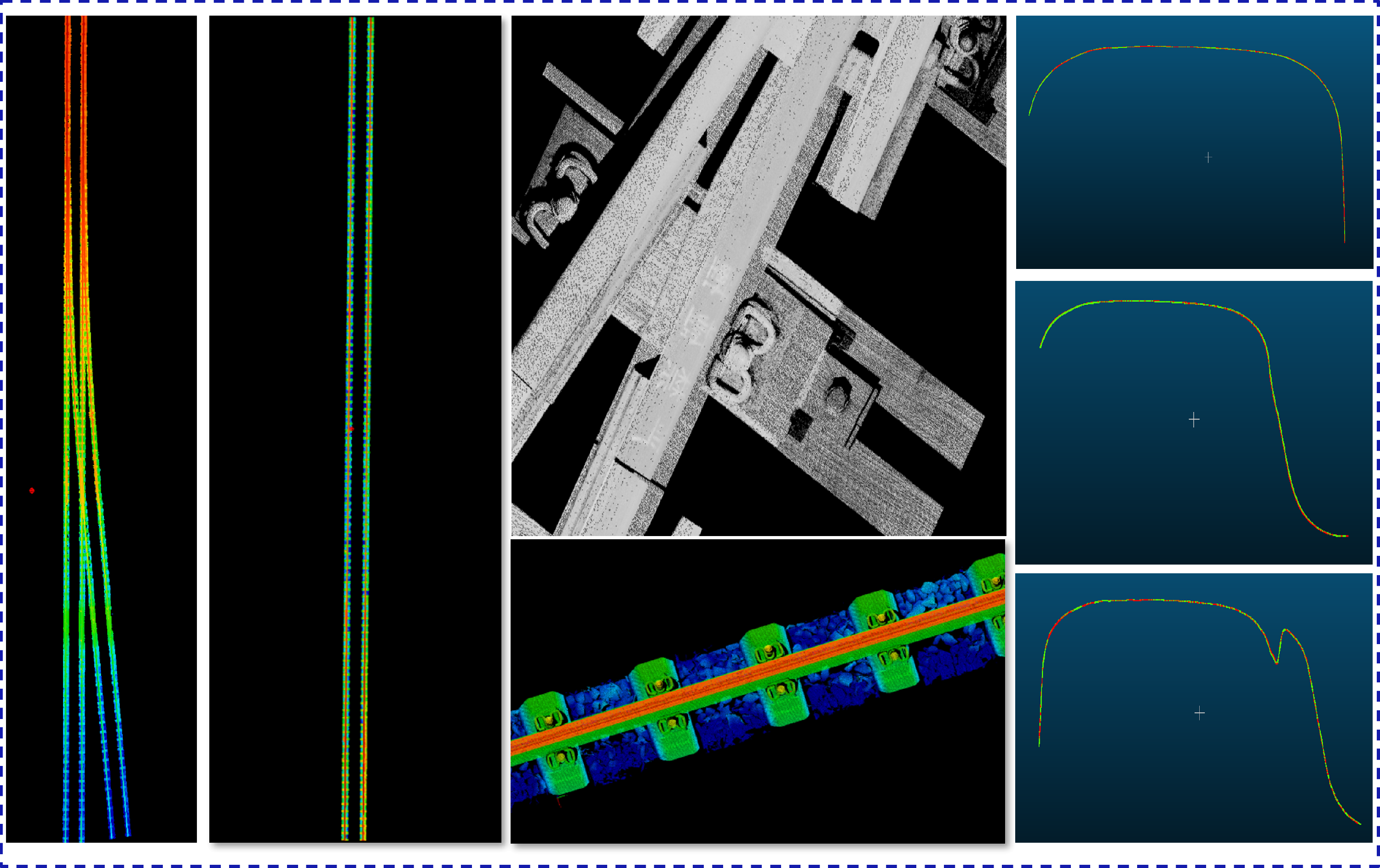
Existing High-Speed Railway Survey
Applicable for:
Enables high-speed continuous measurement.
Highway & Municipal Tunnel Inspection
Applicable for: