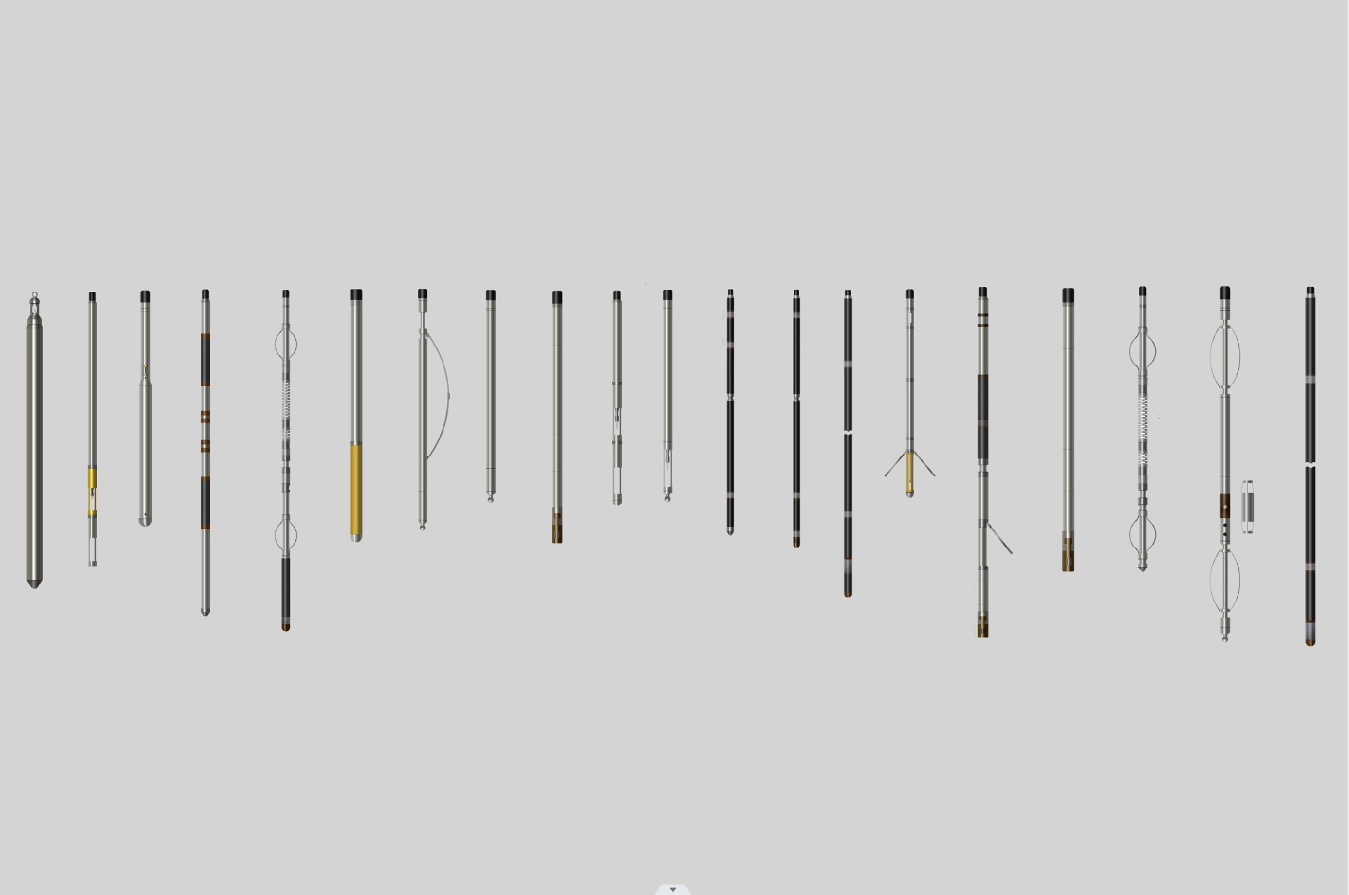
LDX-2D Electrical Resistivity Probe

    image.png

    Description

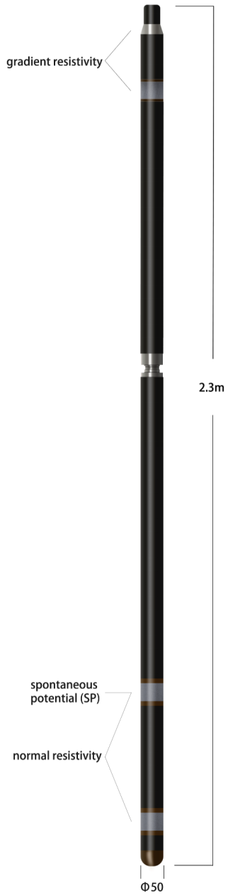
    The Electrical Resistivity Probe measures gradient resistivity,normal resistivity and spontaneous potential (SP) simultaneously. Users can log resistivity profiles with different depths of investigation and gain information about permeability, porosity, water quality and geological formation properties.

    Operating Conditions:Uncased;Borehole Fluid:Water or Mud

    Features & Benefits

    1、The probe will digitize the measured information of the stratum and transmit it to the surface to avoid the effect of the cable on the measurement data.

    2、Constant power, adaptive measurement, no manual operation.

    Applications

    Facies changes;Quantitative geological formation properties

    Identification of hydrostratigraphic units

    Aquifer thickness;Water quality

    Identification of hydrocarbon intervals

    Detection of ore body zones;Bed boundary analysis

    Parameter

    1. Instrument power supply:DC200V±20%,Electricity≤40mA

    2. Electrode array: A 1.6  M  0.4  N ;A  0.4  M

    3. Measuring range:

    Apparent resistivity:1~4000Ωm(customize10000Ωm)

    Spontaneous potential (SP):±1200mV

    4. Measurement accuracy:2%(10~4000Ωm)or ±1Ωm

    5. Environmental: Temperature≦80℃;Pressure≤20MPa


Related News

Linventix Remote Sensing Processing Software SpaceVoxelProcessor Officially Launched on GeoCloud Platform

Recently, Linventix’s remote sensing data processing software SpaceVoxelProcesso···

Dual-Speed Logging Winch Upgrade|All-New W-2000A

Linventix officially launches the latest W-2000A Dual-Speed Logging Winch,an upg···

Successful Equipment Delivery and Training for Gold Group Mineral Exploration Project

Recently, our company successfully completed the equipment delivery and technica···

High-Precision Survey for Mountainous Secondary Highway Reconstruction Based on FT-mini Airborne LiDAR

Project BackgroundA mountainous secondary highway has experienced pavement crack···

FT3000 Airborne LiDAR Officially Released. Enabling Long Range, High Efficiency, and High Precision Mapping

FT4000 Airborne LiDAR Officially Released

High-Water Pipe Inspection in Changsha Drainage Network Case Background

During routine inspections, Changsha Drainage Management Company found blocked p···

Live Demo | Sonar View in Drainage Culvert Inspection

Live Demo | Sonar View in Drainage Culvert Inspection

LBC 10-75 Borehole Camera Systems Successful Delivery

LBC 10-75 Borehole Camera Systems Successful Delivery

Flight Test! mini sensor × DJI M400

Flight Test! mini sensor × DJI M400

Oblique Photogrammetry VS 3D Gaussian Splatting

Oblique Photogrammetry VS 3D Gaussian Splatting

FT-mini Field Test | Power Line Scenario

FT-mini Field Test | Power Line Scenario

Another day of FT-mini Flight test ! Mounted on DJI M300, the operation was smooth, and the point cloud data came out clear and stable.

Another day of FT-mini Flight test ! Mounted on DJI M300, the operation was smoo···

Municipal Road Inspection Case: 3D Array Radar Detection

Municipal Road Inspection Case: 3D Array Radar Detection

VoxelAero Mapper Scanning System: Digital Management for Industrial Warehousing

VoxelAero Mapper Scanning System: Digital Management for Industrial Warehousing

Application of GPR in Asphalt Thickness Detection

Application of GPR in Asphalt Thickness Detection