PRO-360


    微信图片_20241029153821.png

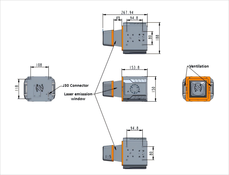
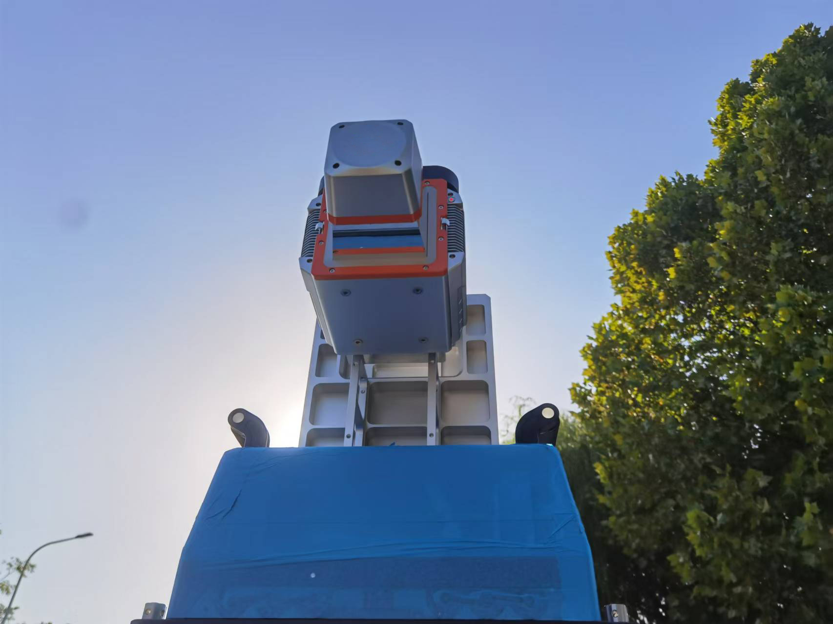
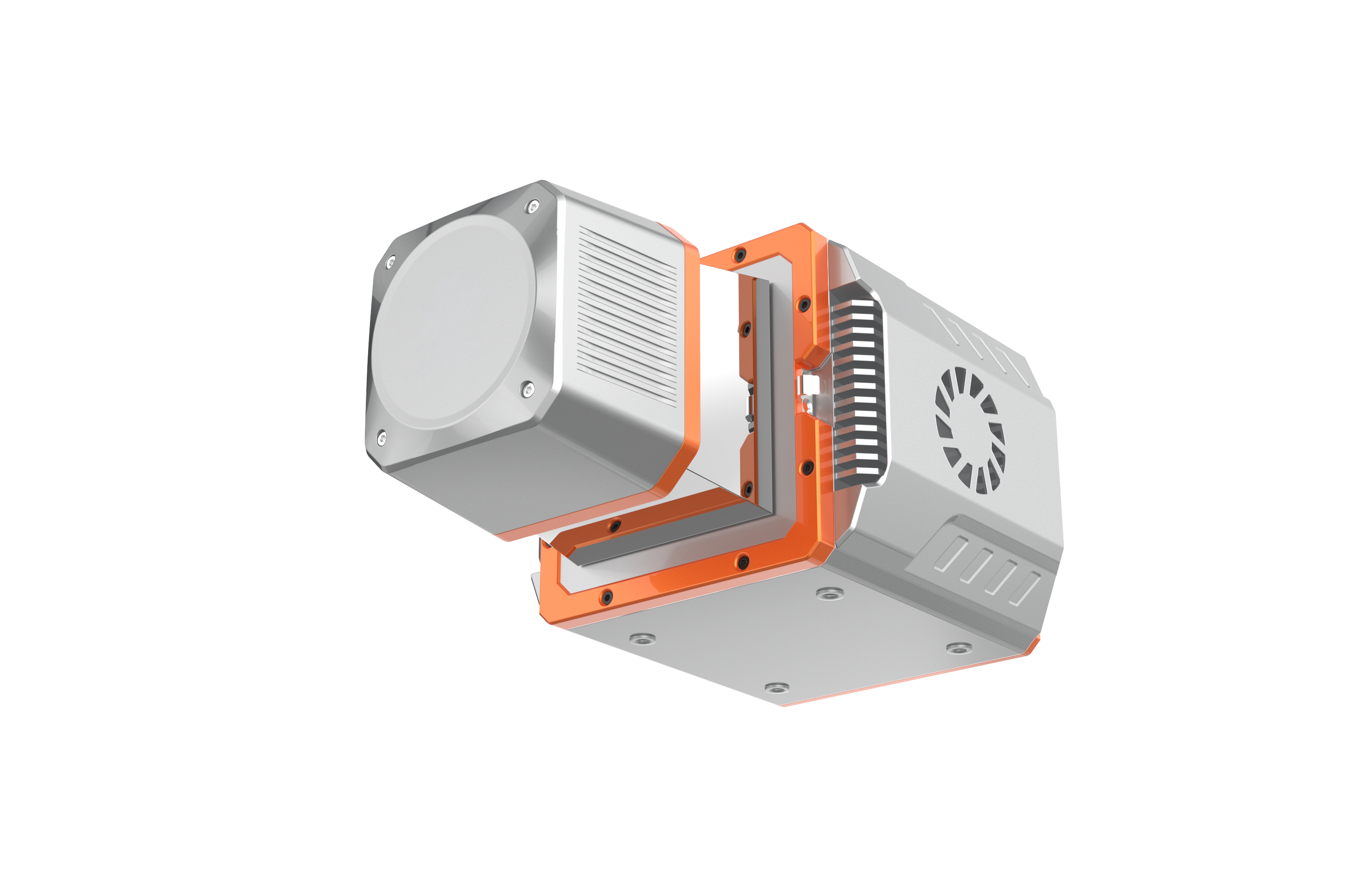
    The PRO-360 scanner is a high-precision vehicle mounted laser scanner created by Linventix in combination with industry development trends and customer needs. The key core components such as the high-frequency ranging module, high-speed scanning prism module, and high-precision angle measurement module are independently developed and have their own intellectual property rights.


      This product has three outstanding characteristics:
    high accuracy, large measurement dynamic range, good stability. 


      Features

    In terms of ranging accuracy, it adopts a multi-channel waveform signal synthesis architecture and algorithm, which can achieve a ranging accuracy of 3mm;

    In terms of detecting dynamic range, the scanner adopts a dual detector coupling structure, which greatly improves the detectable target signal amplitude range and can easily cope with complex and scattered measurement targets in vehicle scenarios;

    In terms of stability, the whole machine adopts high-strength composite materials and integrated molding technology, which has good seismic performance and waterproof level. The working temperature range can reach -20 ℃~50 ℃.


      Specification


    360.png


    Pro360.png

    微信图片_20241029153824.jpg


Related News

Linventix Remote Sensing Processing Software SpaceVoxelProcessor Officially Launched on GeoCloud Platform

Recently, Linventix’s remote sensing data processing software SpaceVoxelProcesso···

Successful Equipment Delivery and Training for Gold Group Mineral Exploration Project

Recently, our company successfully completed the equipment delivery and technica···

High-Precision Survey for Mountainous Secondary Highway Reconstruction Based on FT-mini Airborne LiDAR

Project BackgroundA mountainous secondary highway has experienced pavement crack···

FT3000 Airborne LiDAR Officially Released. Enabling Long Range, High Efficiency, and High Precision Mapping

FT4000 Airborne LiDAR Officially Released

High-Water Pipe Inspection in Changsha Drainage Network Case Background

During routine inspections, Changsha Drainage Management Company found blocked p···

Live Demo | Sonar View in Drainage Culvert Inspection

Live Demo | Sonar View in Drainage Culvert Inspection

LBC 10-75 Borehole Camera Systems Successful Delivery

LBC 10-75 Borehole Camera Systems Successful Delivery

Flight Test! mini sensor × DJI M400

Flight Test! mini sensor × DJI M400

Oblique Photogrammetry VS 3D Gaussian Splatting

Oblique Photogrammetry VS 3D Gaussian Splatting

FT-mini Field Test | Power Line Scenario

FT-mini Field Test | Power Line Scenario

Another day of FT-mini Flight test ! Mounted on DJI M300, the operation was smooth, and the point cloud data came out clear and stable.

Another day of FT-mini Flight test ! Mounted on DJI M300, the operation was smoo···

Municipal Road Inspection Case: 3D Array Radar Detection

Municipal Road Inspection Case: 3D Array Radar Detection

VoxelAero Mapper Scanning System: Digital Management for Industrial Warehousing

VoxelAero Mapper Scanning System: Digital Management for Industrial Warehousing

Application of GPR in Asphalt Thickness Detection

Application of GPR in Asphalt Thickness Detection

Application Case of 3D Radar Detection for Municipal Road Defects — A Record of Precise Road Potential Risks Inspection

Application Case of 3D Radar Detection for Municipal Road Defects — A Record of ···